Beyond Borders: The Role of GPS in Global Agriculture with Drones
Agro
Feb 19, 2024
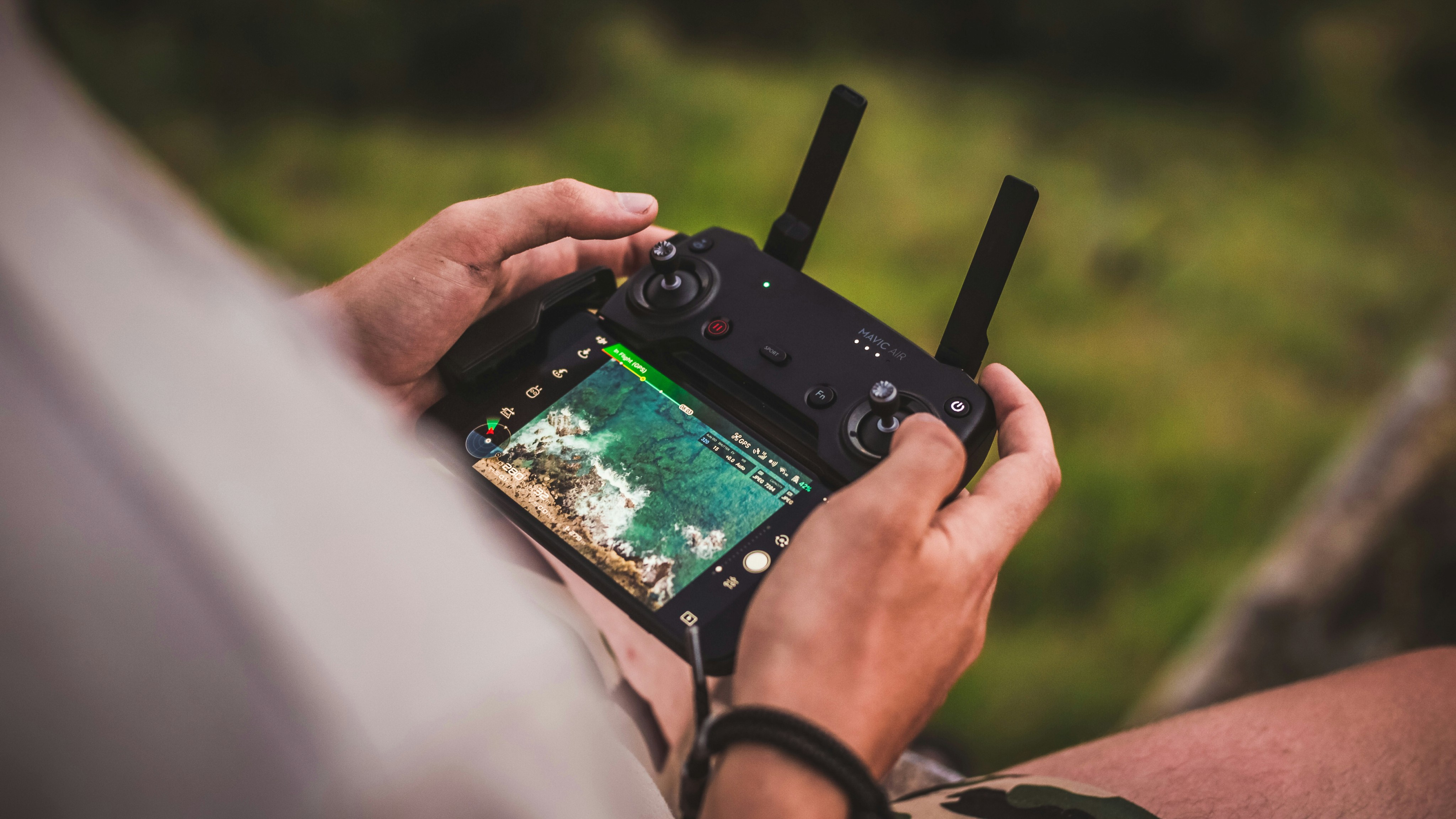
In today's interconnected world, the convergence of technology and agriculture has transcended borders, reshaping the way we cultivate crops and manage farms on a global scale. Central to this transformation is the integration of GPS technology with drones, revolutionizing farming practices and unlocking new possibilities for precision agriculture. In this article, we explore the pivotal role of GPS in global agriculture with drones, and how it is driving efficiency, sustainability, and productivity in farming operations worldwide.
The Evolution of GPS in Agriculture
GPS technology has rapidly evolved from its military origins to become an indispensable tool in modern agriculture. Originally used for navigation and mapping, GPS has found widespread applications in farming, enabling farmers to precisely track and manage their fields with unprecedented accuracy. With the advent of drones, GPS technology has taken on a new dimension, empowering farmers to monitor and optimize their operations from the skies.
Precision Agriculture Takes Flight
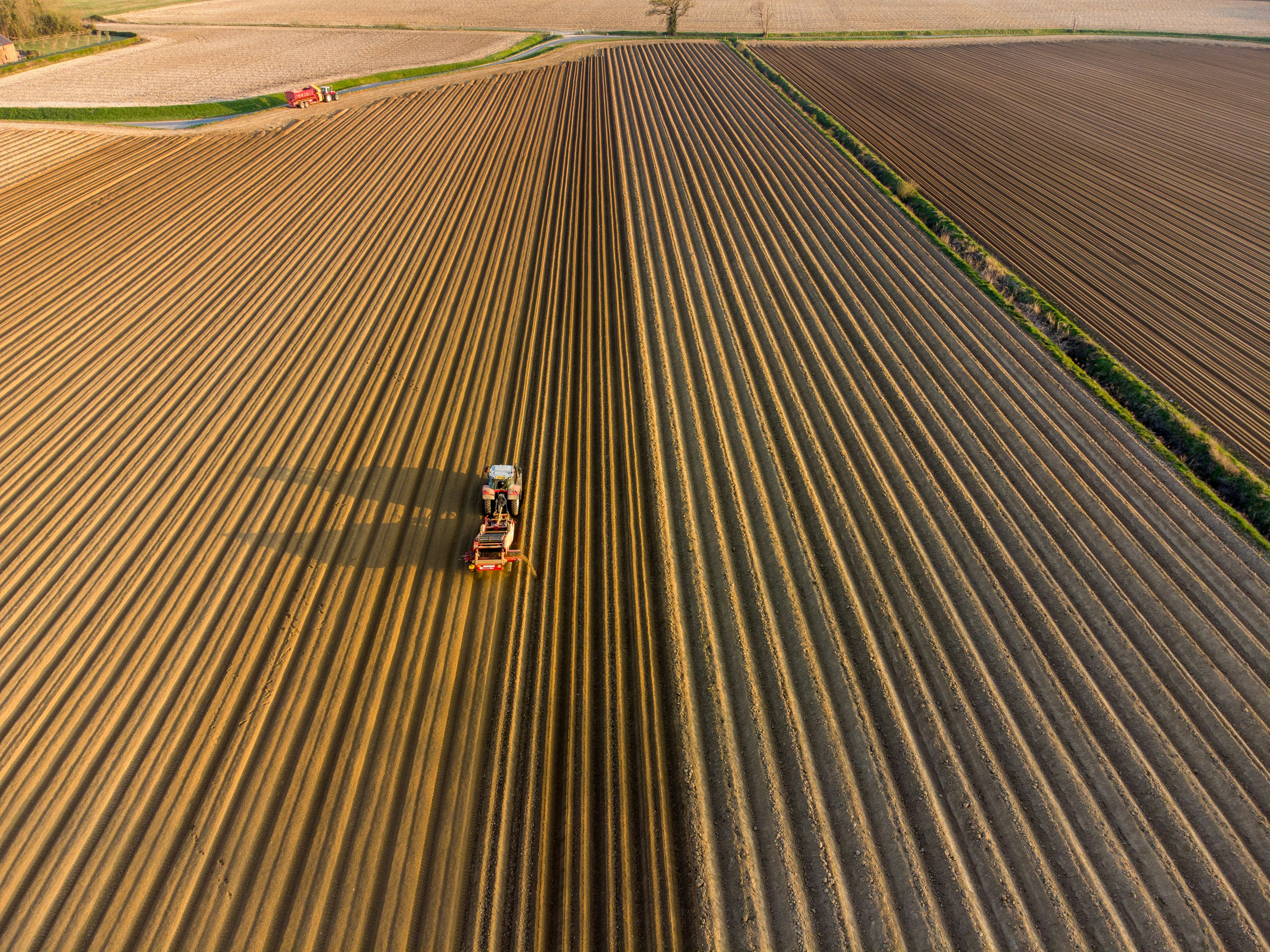
Precision agriculture, characterized by targeted resource management and data-driven decision-making, lies at the heart of the integration of GPS with drones in farming. Equipped with GPS receivers and advanced sensors, drones can collect high-resolution imagery and data from fields, providing farmers with valuable insights into crop health, soil conditions, and pest infestations. This aerial perspective enables farmers to identify areas of concern with precision and take timely action to optimize yields and reduce inputs.
Enhancing Efficiency and Sustainability
The combination of GPS and drones offers numerous benefits for farmers, enhancing efficiency, sustainability, and productivity in agricultural operations:
Precision Application of Inputs: By precisely mapping field boundaries and variations in soil composition, drones equipped with GPS technology enable farmers to apply inputs such as fertilizers, pesticides, and irrigation water with pinpoint accuracy. This targeted approach minimizes waste and environmental impact while optimizing resource use and maximizing yields.
Remote Monitoring and Management: GPS-enabled drones provide farmers with real-time insights into field conditions, allowing for remote monitoring and management of crops. From identifying areas of water stress to detecting early signs of disease or pest infestations, drones equipped with GPS technology empower farmers to make informed decisions and take proactive measures to protect their crops.
Mapping and Planning: GPS-enabled drones can generate detailed maps and 3D models of fields, facilitating precise planning and decision-making. These maps can identify areas of soil erosion, compaction, or nutrient deficiencies, guiding farmers in implementing targeted interventions to improve soil health and crop productivity.
Optimizing Farm Operations: By automating tasks such as crop scouting, mapping, and monitoring, GPS-enabled drones streamline farm operations and reduce labor costs. With the ability to cover large areas quickly and efficiently, drones enable farmers to scale their operations and increase productivity without sacrificing quality or sustainability.
Global Impact and Future Trends
The role of GPS in global agriculture with drones extends beyond individual farms, influencing agricultural practices and food production worldwide. From smallholder farmers in developing countries to large-scale commercial operations in industrialized nations, GPS-enabled drones have the potential to democratize access to advanced farming technology and improve livelihoods for farmers around the globe. Looking ahead, advancements in GPS technology, coupled with ongoing innovation in drone technology and data analytics, will continue to drive efficiency, sustainability, and productivity in agriculture, shaping the future of food production for generations to come.
Conclusion
The integration of GPS technology with drones is revolutionizing agriculture, transcending borders and unlocking new possibilities for precision farming on a global scale. By harnessing the power of GPS-enabled drones, farmers can optimize their operations with unprecedented accuracy, efficiency, and sustainability. As the agricultural industry continues to evolve, the role of GPS in global agriculture with drones will only grow in significance, driving innovation and resilience in farming practices and contributing to a more food-secure and sustainable future for all.


